
Expanding our traveling a little further this week, but still staying close enough to home to feel comfortable. It was our “Splorin’versary”. Unfortunately it had to happen during this time when we could not stop and enjoy breakfast or #SupperClubSaturday, but none-the-less we decided we wanted to take on Interstate State Park — which was the location of the first place we did #SplorinSaturday a year ago. We were hoping we would not lose a shoe to the mud like we did last year, but whatever happens, this park will always be meaningful to us as it was one that we spent a lot of time at while we were in high school and college.
At this time state parks in Wisconsin were still “free”; since this park is right on the Minnesota border, we knew that it would be packed, so we wanted to again get there early get it done as quickly as possible. Mike’s plan was to do basically the same hike we did last year, but with a couple of changes of course.
We started by parking in the Ice Age Center parking lot and begin hiking on the Skyline Trail. This was the trail where Tammy lost a tennis shoe to the mud last year. We quickly found out why we had such difficult time last year. There was a branch in the trail that we missed last year. A cross-country ski trail went one direction while the hiking trail went the other. The difference was that the cross-country ski trail (what we followed last year) went along a hillside that had lots and lots of springs, so it made the ground and trail very wet and sloppy. In the winter with snow on top that is no problem — but in the Spring it is quite messy. This year we opted for the hiking trail portion.
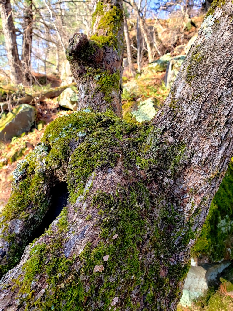
Right after we made the turn onto the hiking trail, Mike spotted a deer about 50 yards off the trail. It was looking right at us, but was very unimpressed by us. It kept eating and meandering. It actually followed us parallel on the trail for about half a mile. It was crazy to see it just going right along with us. Right after seeing the deer we entered the “moss area”. Everything was covered with beautiful green moss.

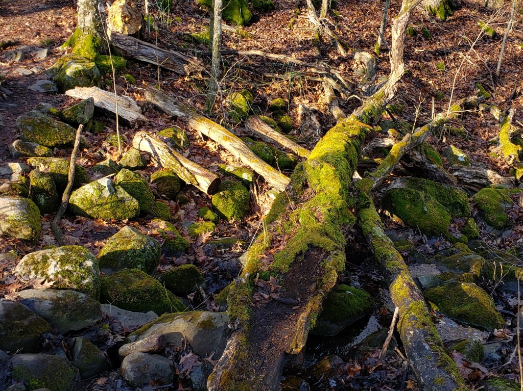
We then came to the point where we go down the hill to the St. Croix River and a peaceful stream that flowed through the valley on its way there too.
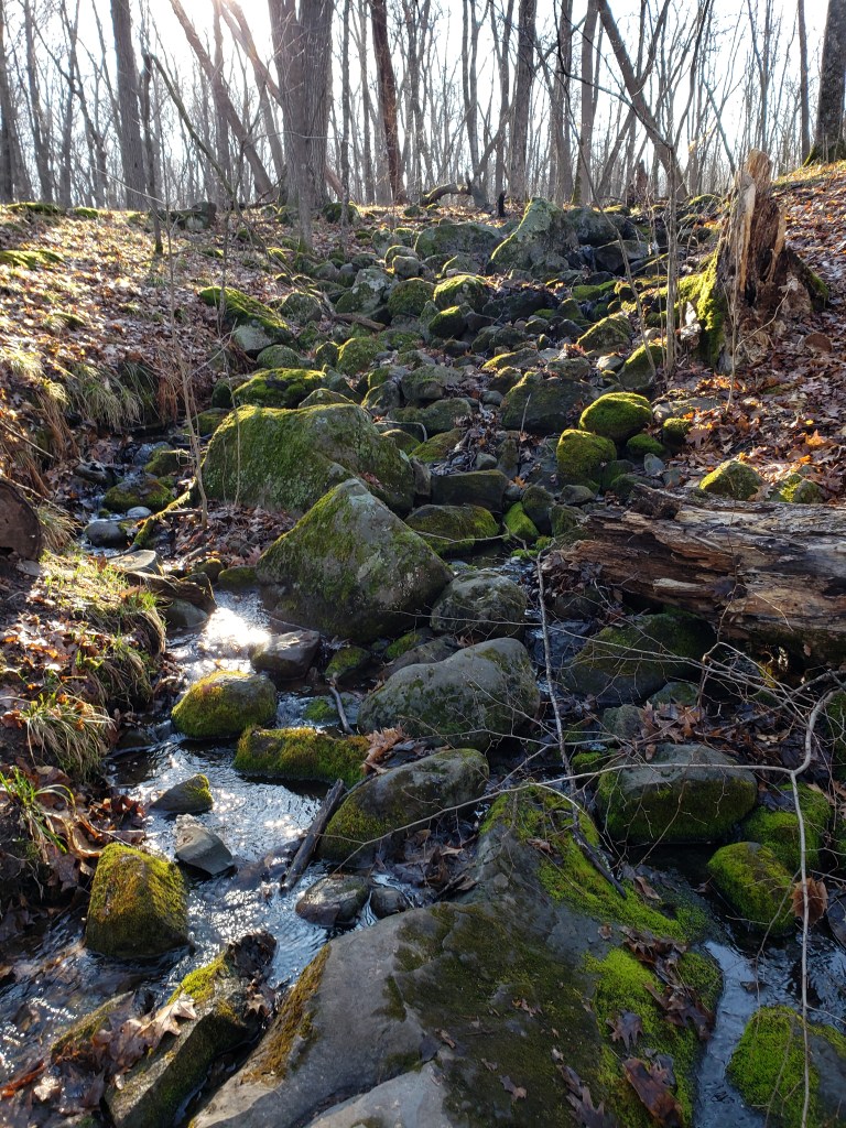
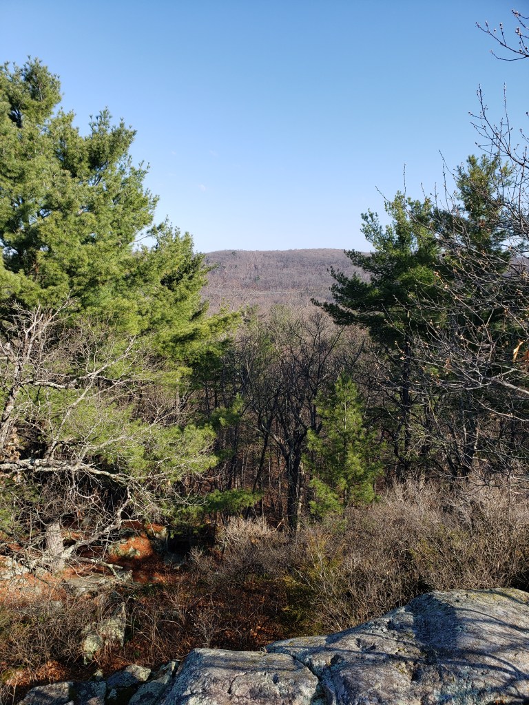
We then passed through the valley of frogs — last year the frogs were so loud you almost could not hear yourself think. Today they were loud but nowhere near that loud. Here is also where we took a detour from what we did last year. We went up on Eagle Peak Trail. This is the highest point in the park. Last year I think the climb up would have come close to killing us, this year we just plodded right to the top. It had an amazing view from the top.
We then made our way back down and along the Silverbrook Trail. This trail takes you out to a very pretty waterfall. Right off the waterfall is a little trail that leads you through the middle of a marsh like area where the water flows to get to the waterfall. Last year we got pretty wet starting to walk across this, but we never made it all the way. This year it was a little less wet so we decided to give it a shot. We made it across mostly dry — and by mostly dry I mean that Mike had one dry boot and Tammy’s knees were still dry. But — on the other side we found a trail leading off the marsh. Thinking maybe it just looped around the marsh we started down it. It quickly became apparent this was not going to loop back around; it was a very nice walk heading toward the back corner of the state park.
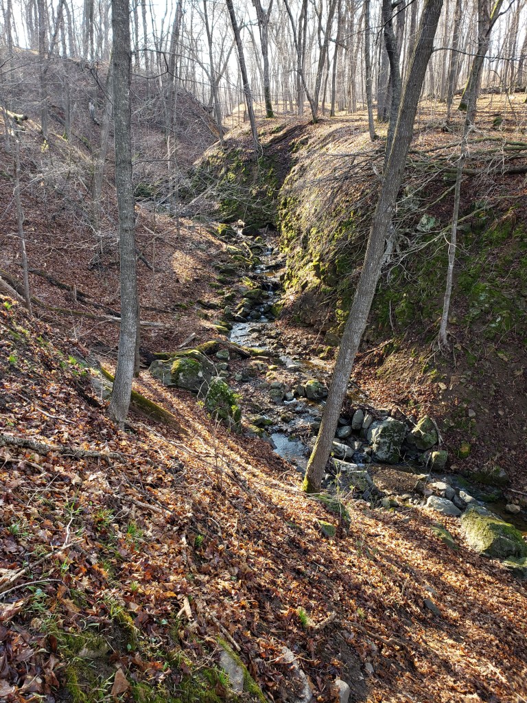
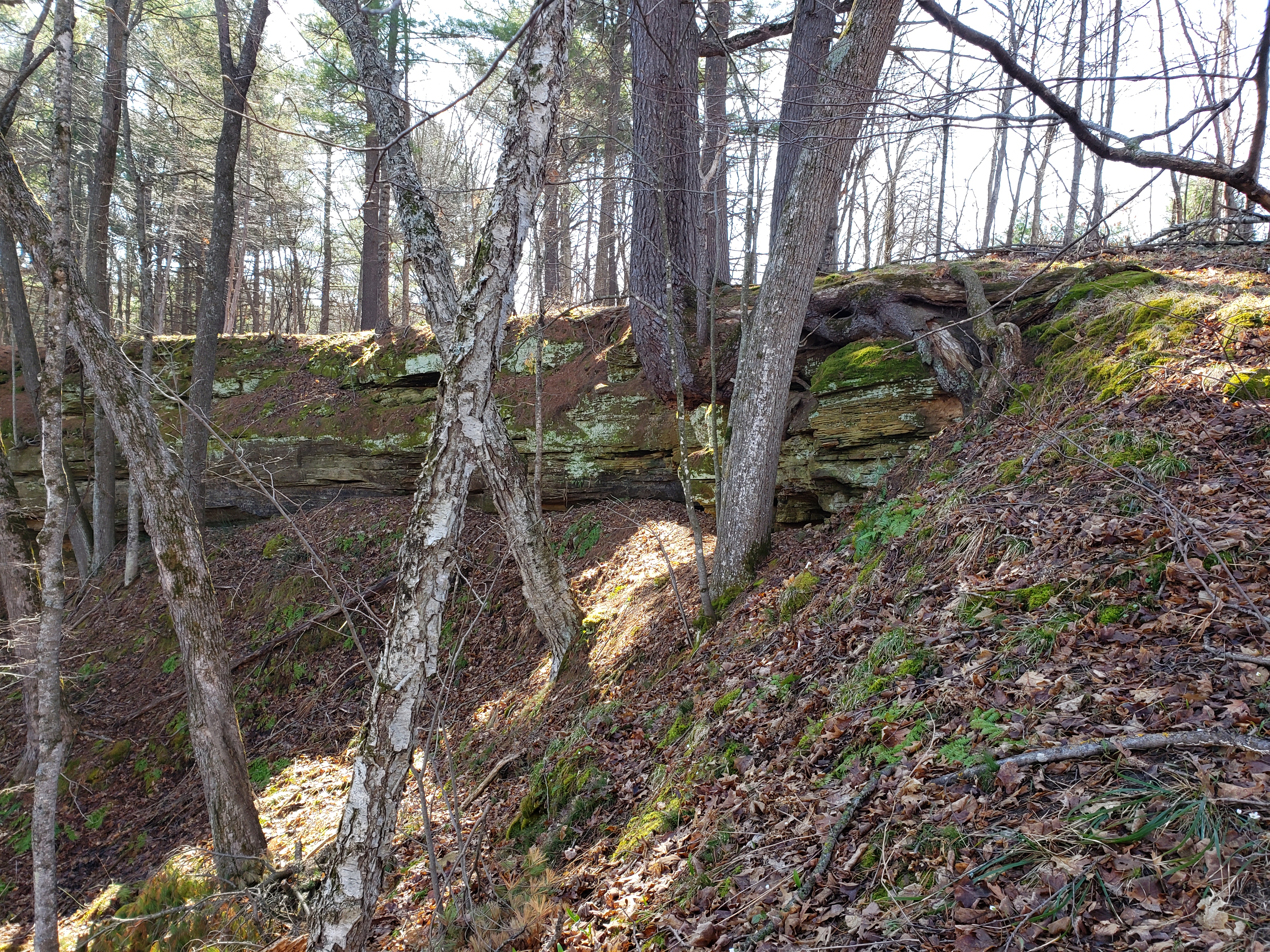
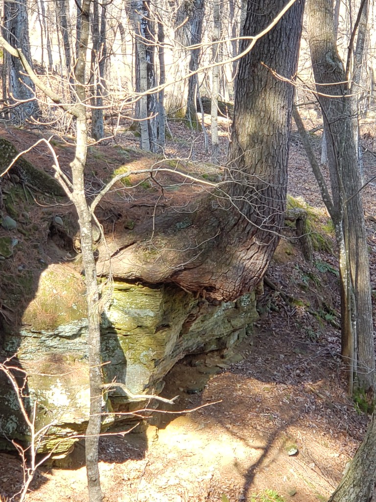
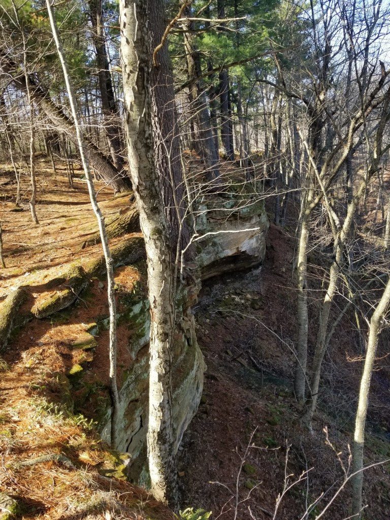
Afer about 3/4 of a mile, Mike noticed a little trail leading off to the side and said he thought he could hear water trickling. Going down that path and over a little hill revealed a HUGE ravine with a tiny little tickle of water entering it. This was a massive ravine that obviously led down to the river. We explored around the waterfall for a little be and started down the trail again only to find the trail went right up to the edge of the ravine. There were some great views of the rocks and trees on the side of the ravine.
Tammy found where the trail led off of the ravine and seemed to be heading back. She was right and we soon were back near the waterfall. It turns out that this trail is not on the Summer map of the park as it would typically be too wet to cross that marsh. But it could easily be snowshoed as the ground would be frozen.
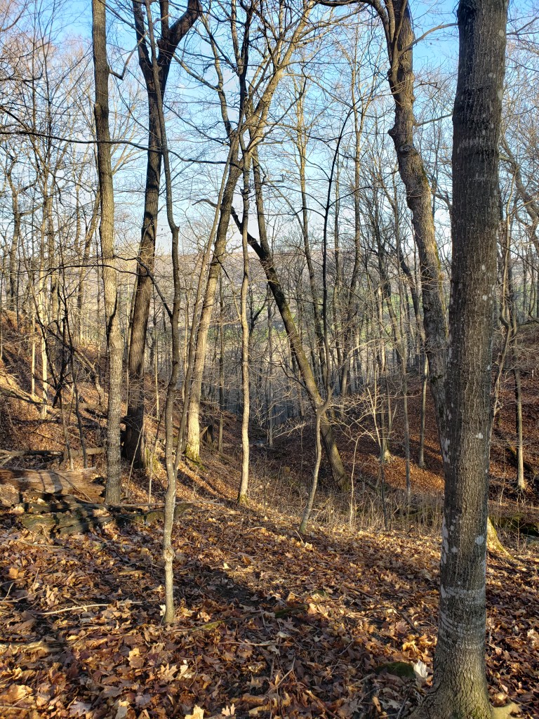
We were now going to make our way back to the car via the Lake o’ the Dalles and Meadow Valley Trail. As we made our way to the Lake o’ the Dalles we started seeing more and more and more people. Cars everywhere. Parking lots completely full. People not observing proper social distancing at all. We quickly decided it was time to make it to the car and head out. The Meadow View trail was flooded similar to what it was last year — not quite as bad but the trail was still under six inches of water. We had to work our way around it on the rocks on the side.

The last big climb up and through the rocks was nowhere near as difficult as last year. Last year Tammy had to take a five minute break at the top, this year she just powered right on through all the way to the car. Being in better shape is a beautiful thing!!!
We did take the van back down to the river to play some cribbage, but didn’t stay too long. We were home in time to have dinner with the kids and Tammy needed to finish Carrie’s birthday surprise for the next day. Supperclub Saturday is on hold for yet another week.
